
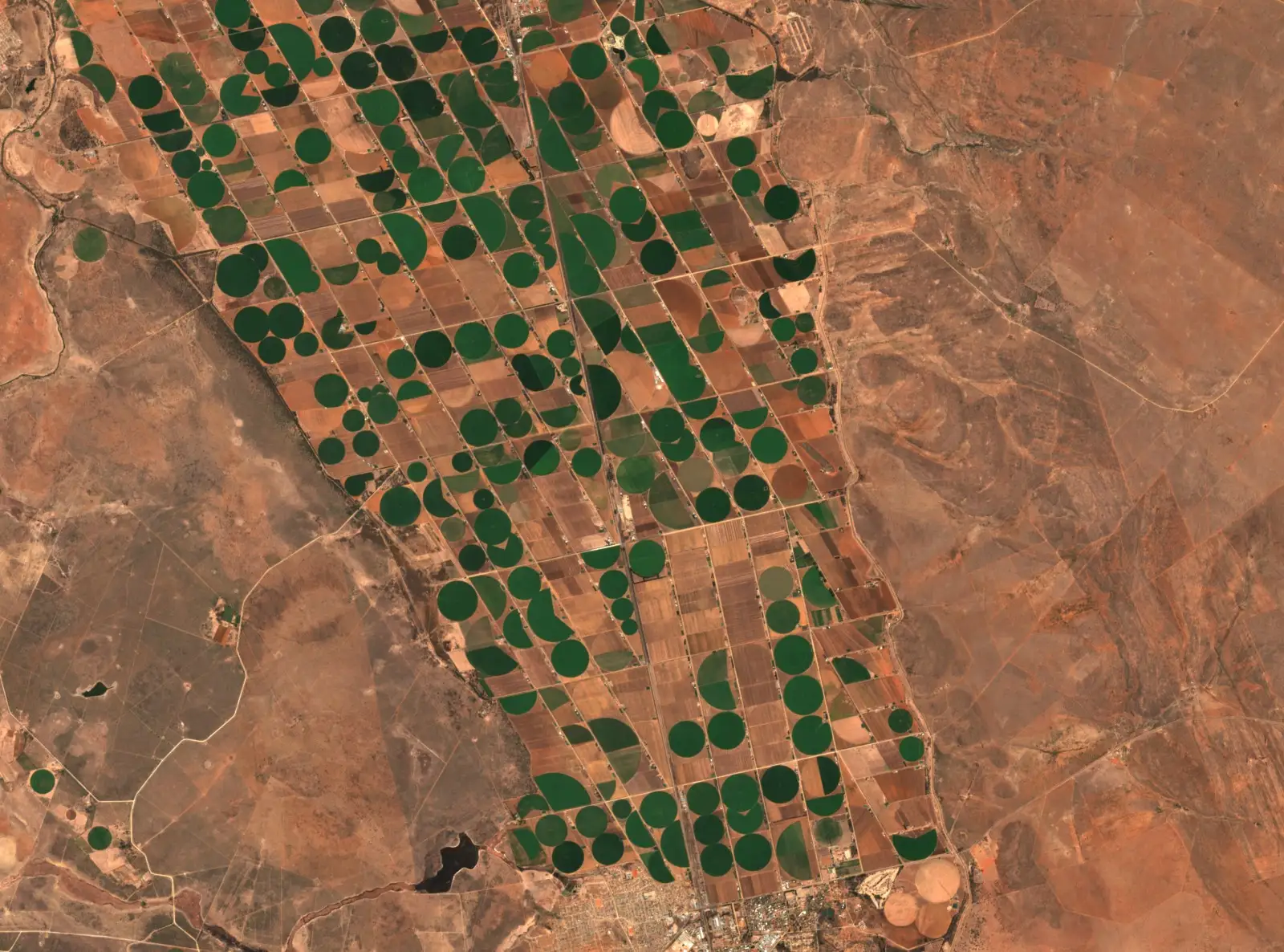
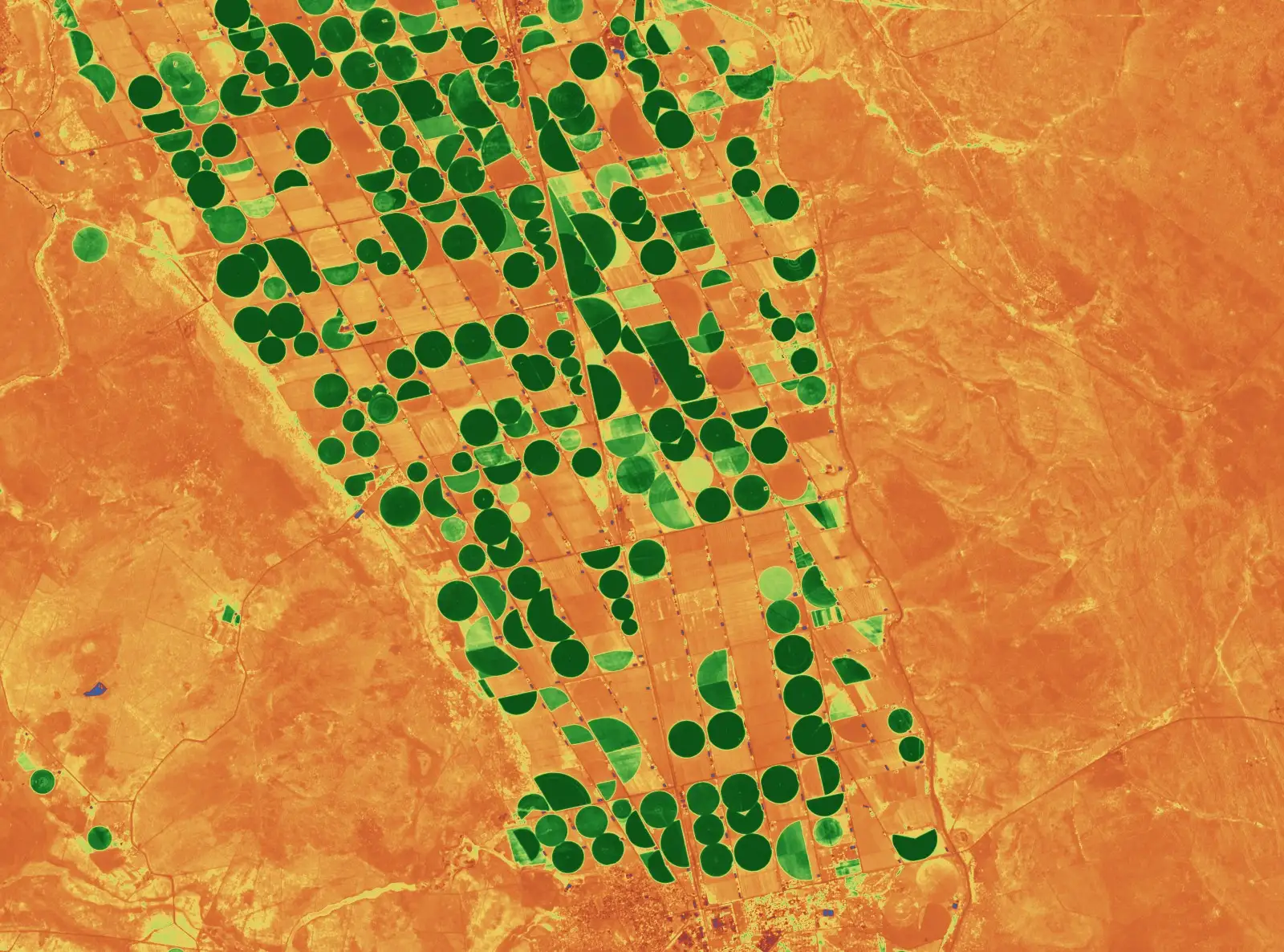
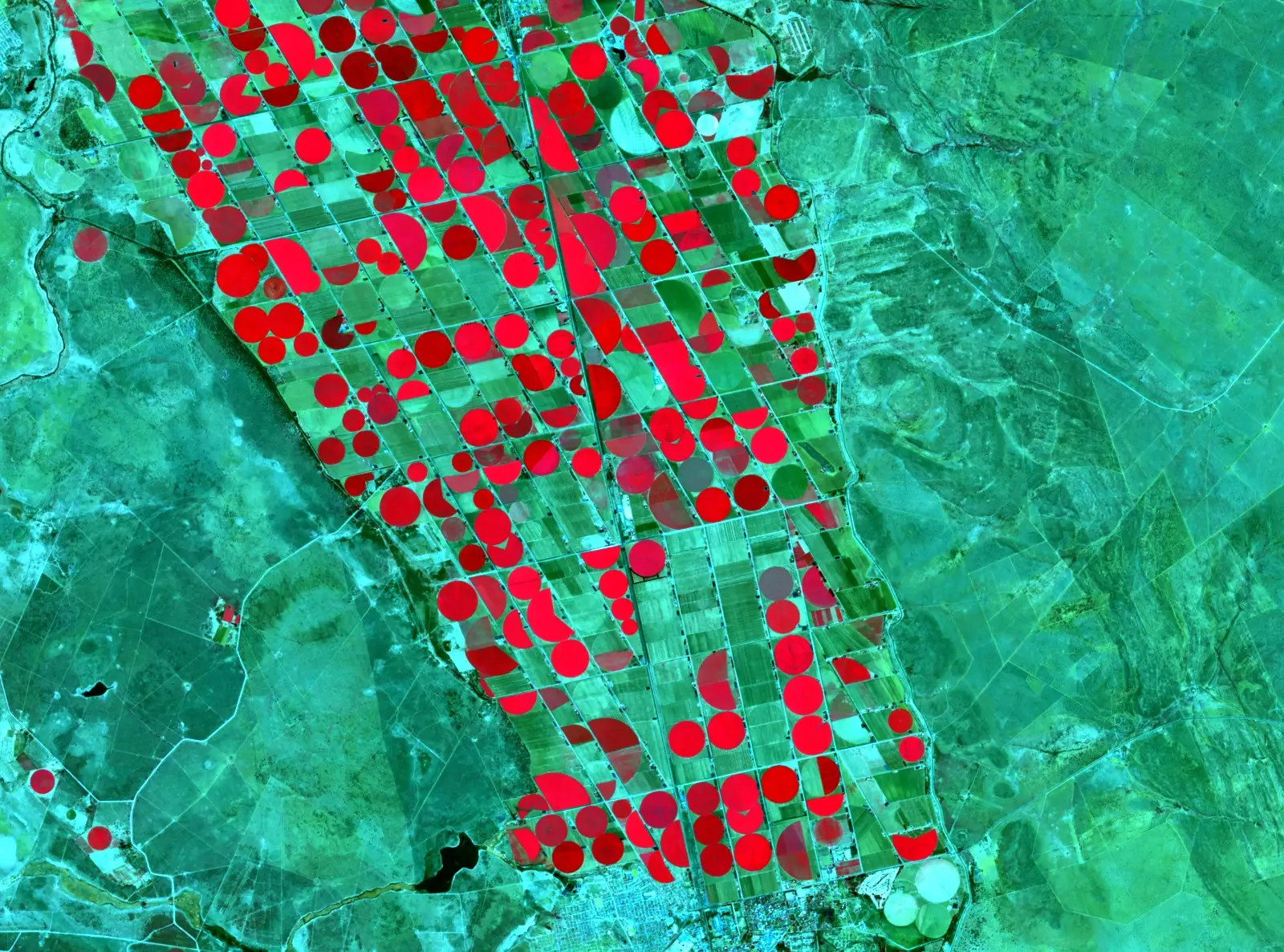
Independent satellite evidence for decisions that have to hold up.
TerraX turns satellite and elevation data into an accountable spatial evidence layer — interpreted and signed off by a named specialist with a doctorate and a peer-reviewed record. Built for the moment a regulator, auditor, lender or court asks how you know.
The case for TerraX
The imagery is commoditised.
Satellite archives are open and processing pipelines are cheap. Access to pixels is no longer scarce, and no longer worth paying a premium for.
The interpretation is not.
What is scarce is a named specialist who will read the data, state what it does and does not show, and put their name to the finding — and stand behind it if it is questioned.
We work beneath the prime.
TerraX subcontracts to prime consultancies rather than competing with them. You keep the client and the relationship; we deliver the spatial evidence layer under your report.
One discipline, many sectors.
The technique is the same; the question changes with the sector — from mine rehabilitation to satellite crop monitoring. Find the one that matches yours.
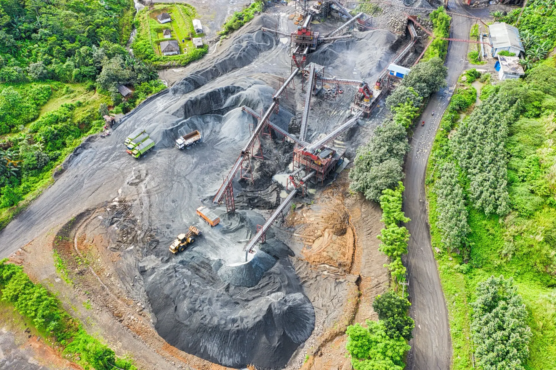
Rehabilitation monitoring
Multi-year satellite evidence of vegetation recovery on rehabilitated mine and industrial footprints.
Read more →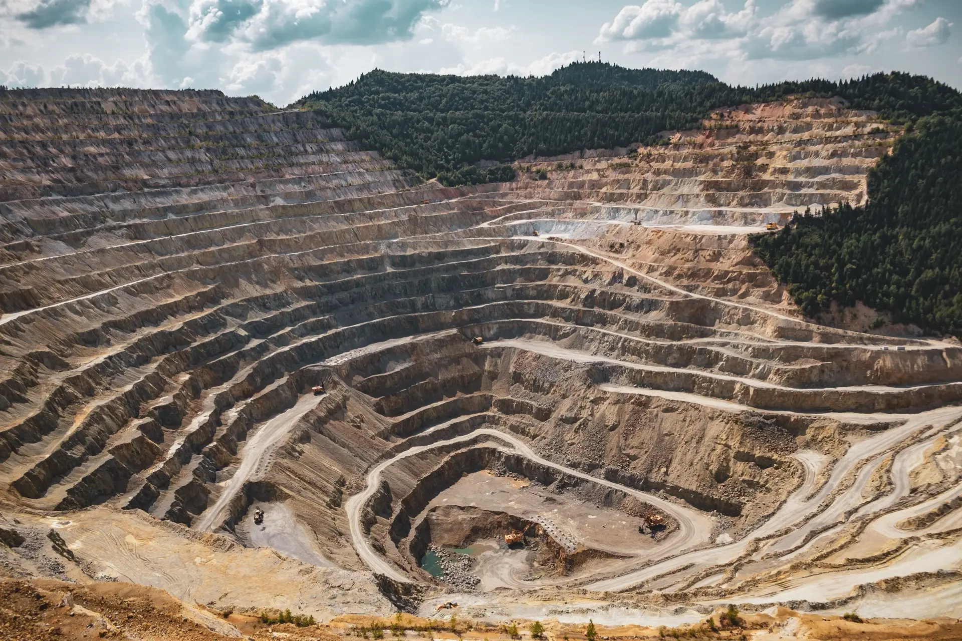
Closure liability verification
Independent verification of disturbance extent and earthworks volumes for closure financial provision.
Read more →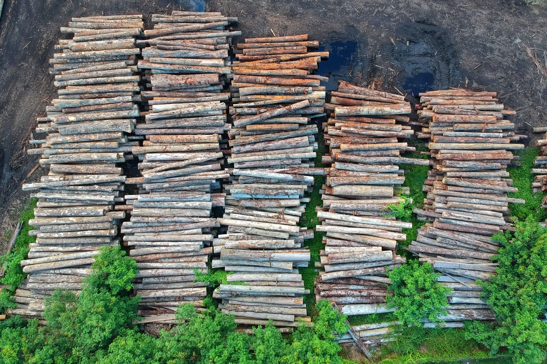
EUDR forestry compliance
Plot-level satellite evidence for EUDR on southern African wood and charcoal, including a second opinion on review-flagged plots.
Read more →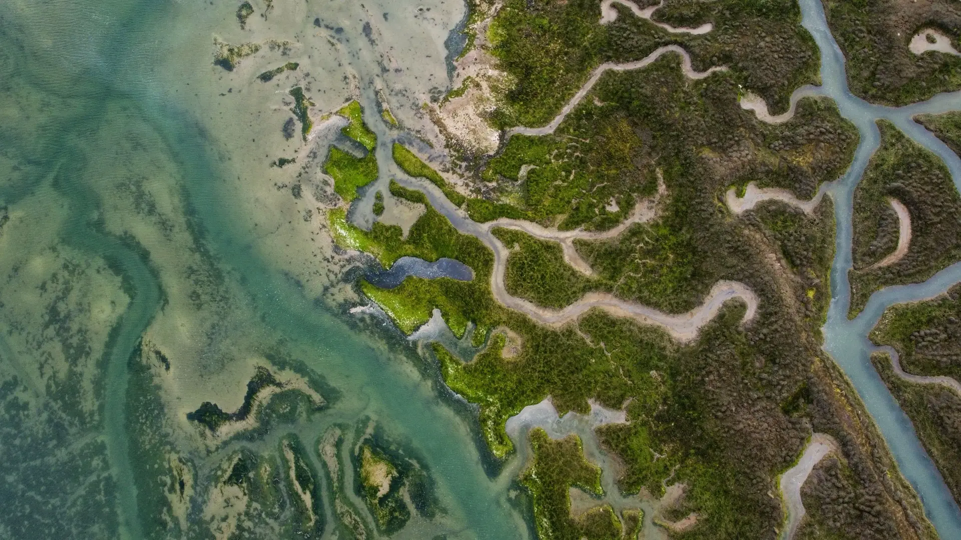
Environmental baseline
Remote sensing baseline layers for environmental impact and biodiversity assessments.
Read more →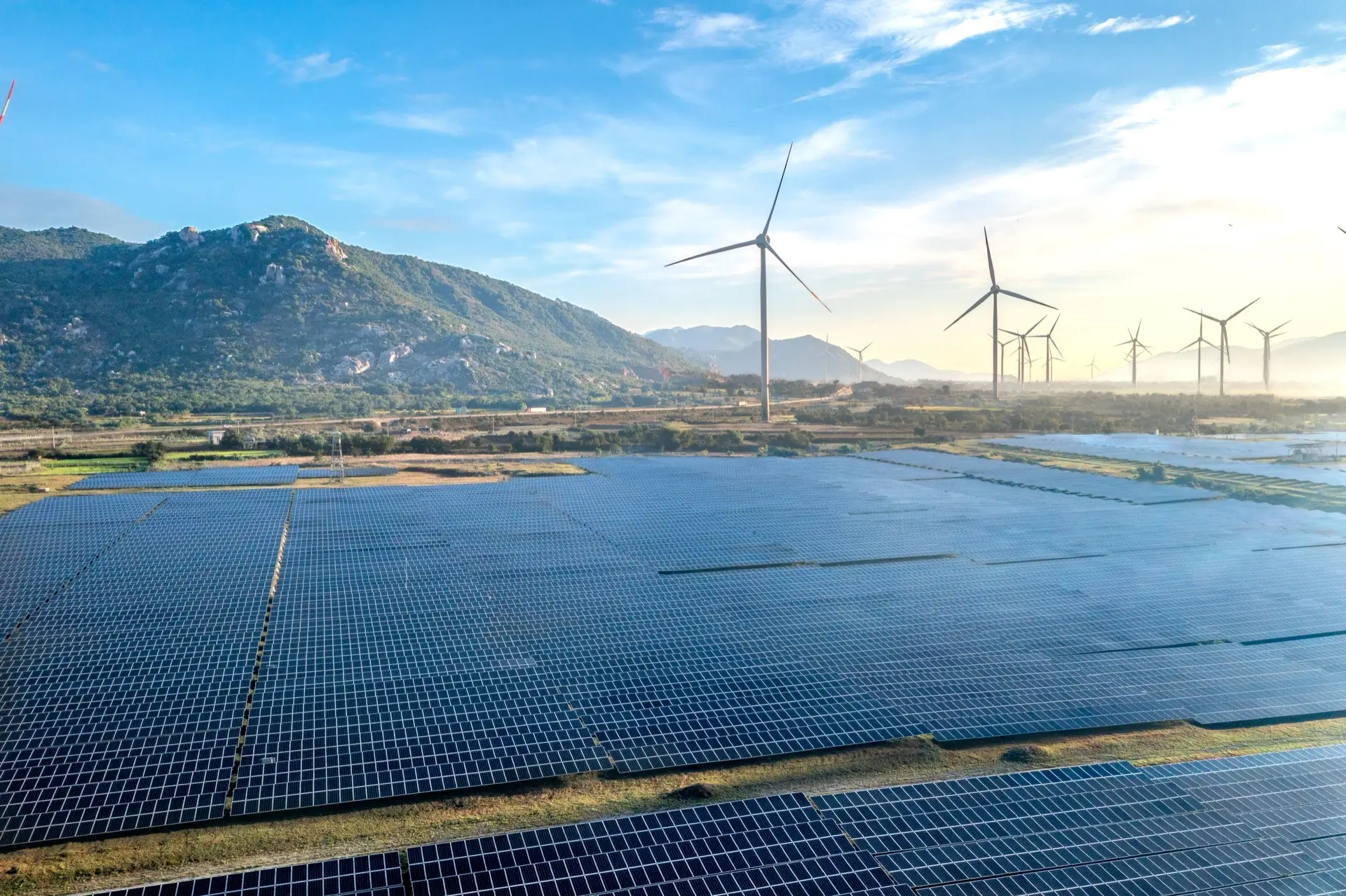
Construction compliance
Construction-phase monitoring that evidences disturbance stayed inside the approved footprint.
Read more →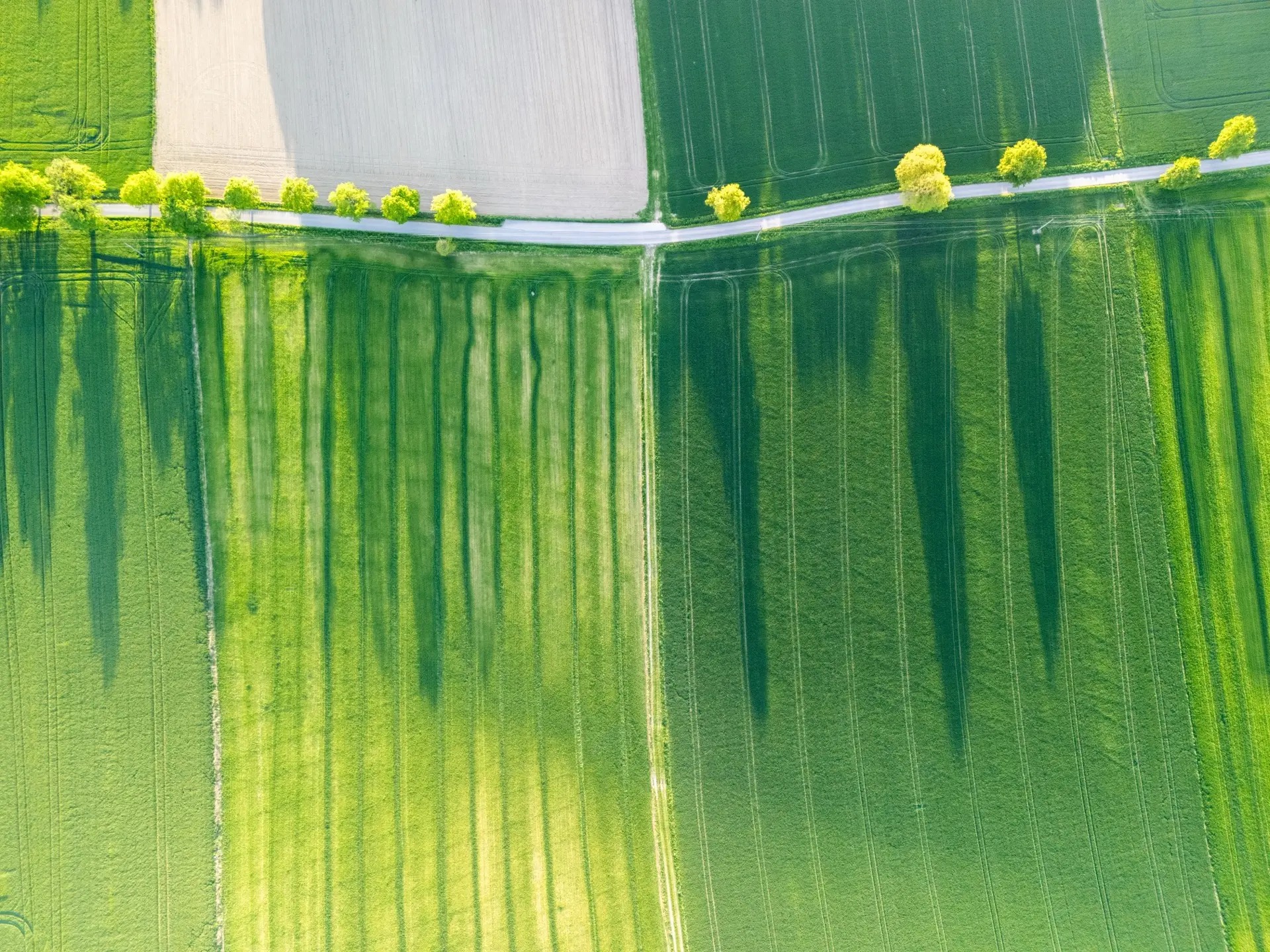
Crop monitoring
Satellite crop-health and within-field variability monitoring for farms and irrigation schemes.
Read more →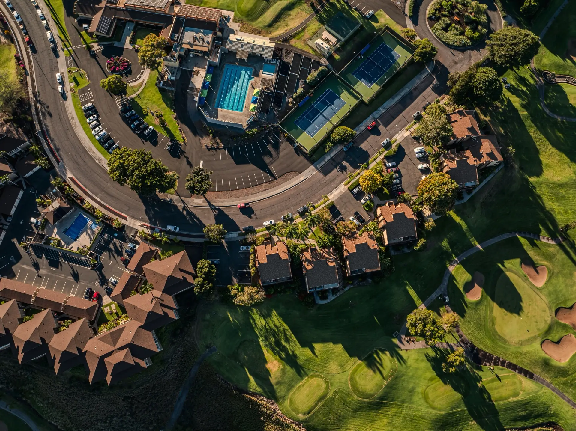
Greenspace reporting
Periodic vegetation-health reports for estates, golf courses, plantations and campuses.
Read more →
Research support
Remote sensing analysis subcontracted to university researchers, with co-authorship where warranted.
Read more → From open pits to plantations to coastlines.
One discipline — accountable remote sensing — applied wherever a land decision has to stand up to scrutiny.
A real, checkable publication record.
TerraX is led by a scientist with a doctorate in environmental science, specialising in hyperspectral remote sensing, and a body of peer-reviewed work in exactly the methods the consultancy sells. The credentials are checkable, which is the entire point — every paper is listed with its DOI, and the Google Scholar record is public.
One clear next step.
Send a one-paragraph brief — what the project is, what the deliverable is, when you need it. Reply within one working day.