
Notes on reading the evidence well
Practical writing for the people who commission and review spatial evidence — what to ask, where the common claims overreach, and how to tell a defensible finding from a confident-looking one.
The remote-sensing decisions you can't fix after the fieldwork
Sensor choice, validation sampling, accuracy assessment and reproducibility are settled at the design stage — not at write-up. The four decisions that decide whether a study’s remote sensing survives peer review, and why they belong in the proposal.
You can't prove impact without a ‘before’ — and it's the one record you can't collect later
An impact assessment stands on attribution, and attribution needs a credible pre-disturbance baseline. The satellite archive is the only "before" you can reconstruct after the ground has already changed — if you capture it in time.
Where a construction footprint gets breached — and how monitoring catches it
Building outside the permitted line is rarely deliberate — it is drift: a widened track, a laydown yard that spread. How scheduled satellite monitoring catches excursions early, and proves compliance where the line held.
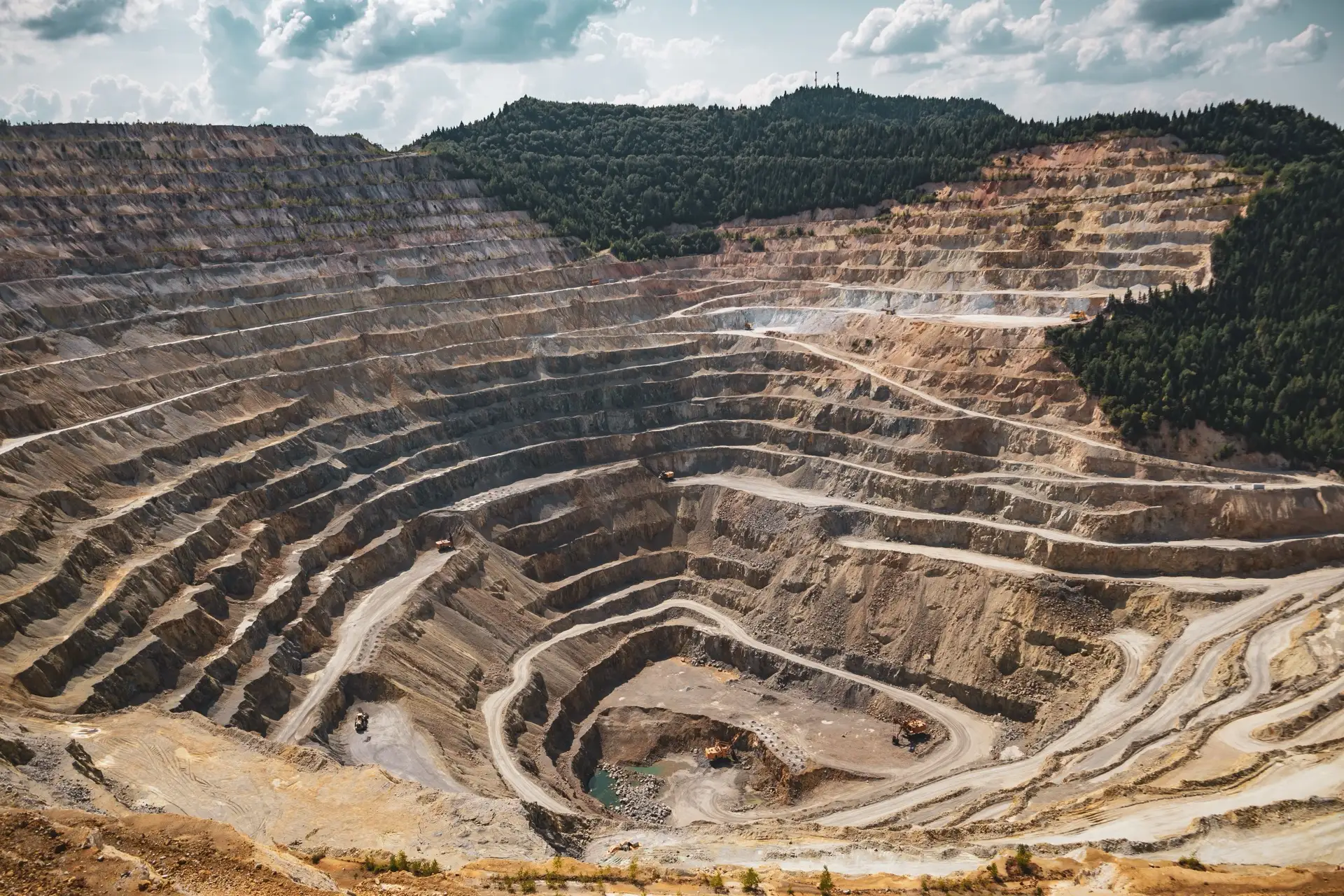
The numbers under a mine closure provision — and how to measure them independently
A closure provision rests on two measurements: disturbed area and earthworks volume. How satellite imagery and elevation differencing measure both independently — with the uncertainty stated — to sit under an audit-ready figure.
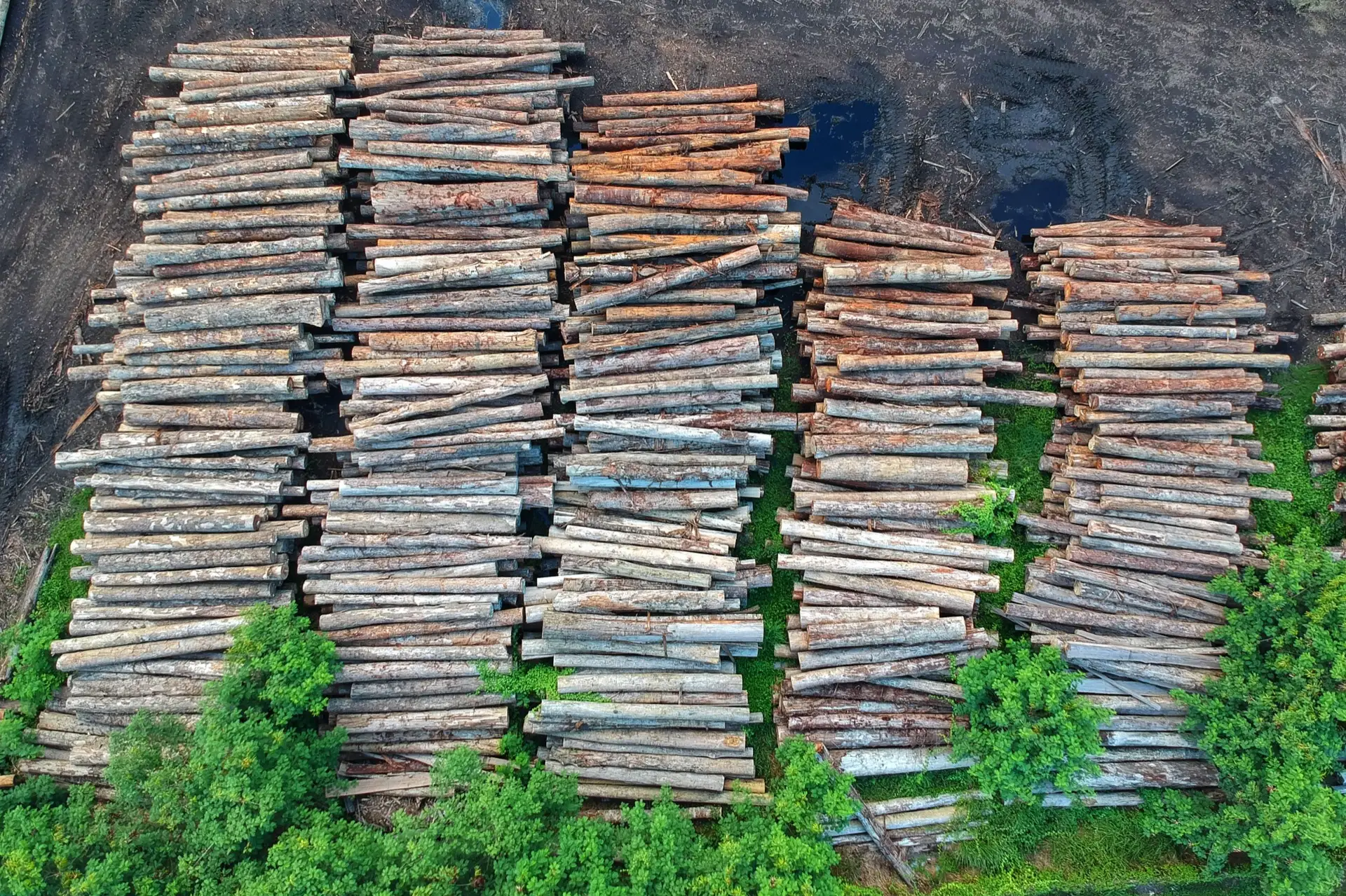
The coordinates are the compliance: getting EUDR plot geolocation right
EUDR runs every deforestation check on the plot boundaries you supply. If the geolocation is wrong, the answer describes the wrong ground — how satellite imagery builds and verifies compliant plot geometry.
Harvest or deforestation? The distinction that decides EUDR compliance
A routine harvest and a genuine land-use conversion look alike from orbit. Telling them apart in a satellite time series is what decides an EUDR finding — and where the expertise earns its fee.
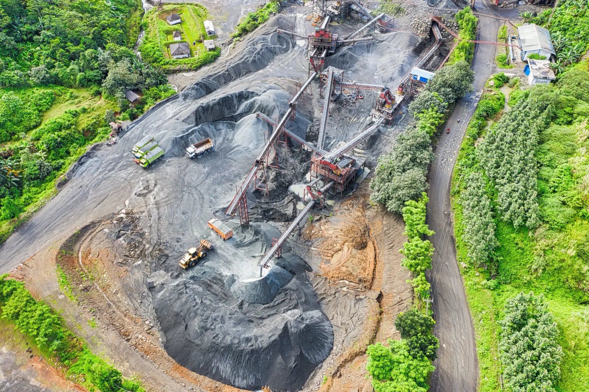
Four questions to pressure-test a vegetation monitoring report
The four technical checks — controls, proxies, corrections and limits — that separate a defensible satellite vegetation finding from one that only looks authoritative.
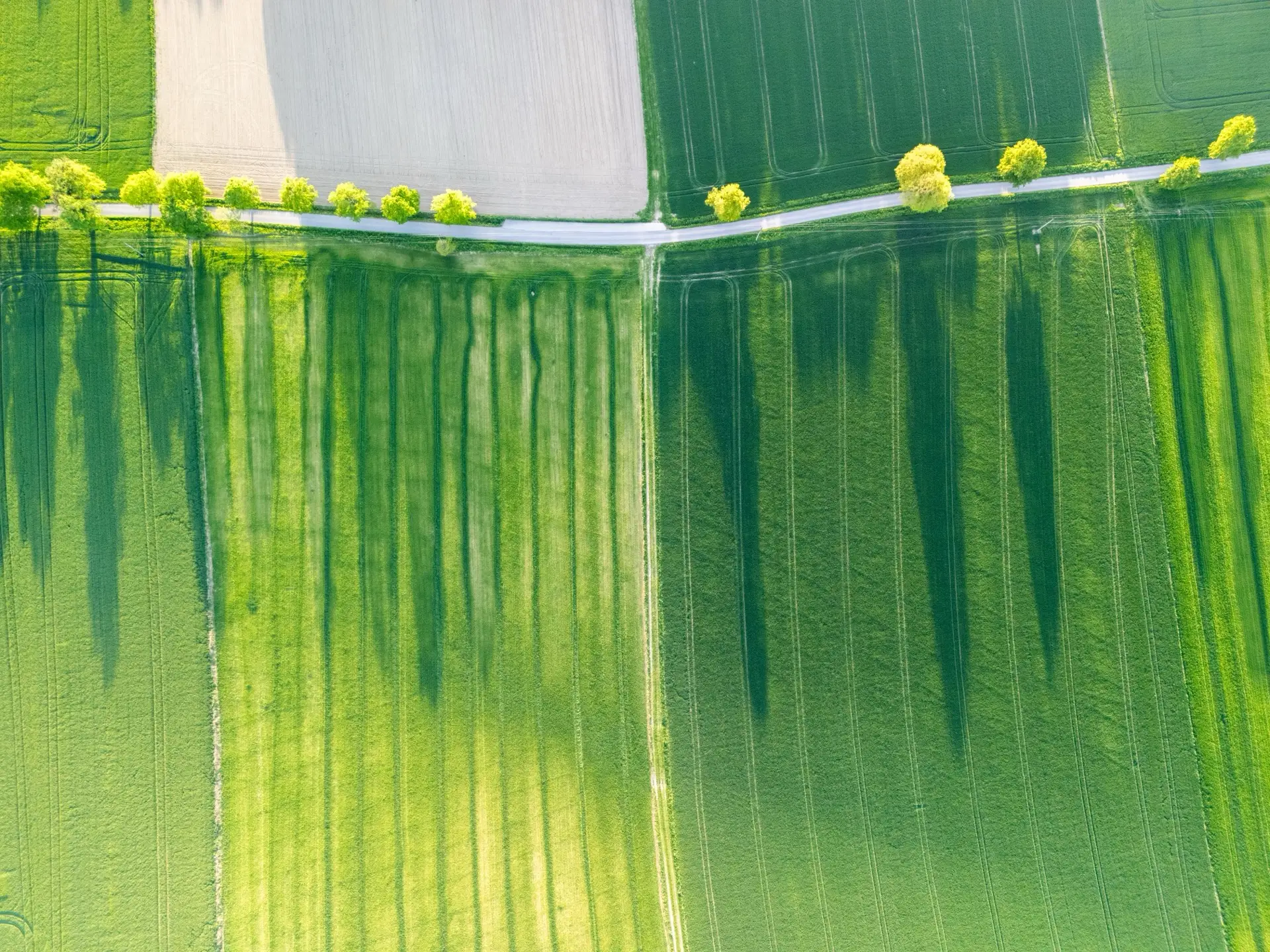
The field average is lying to you: within-field variability from space
A field-average vegetation index hides the acres that are costing you. The value of satellite crop monitoring is the map — the persistent low zones a single number averages away.
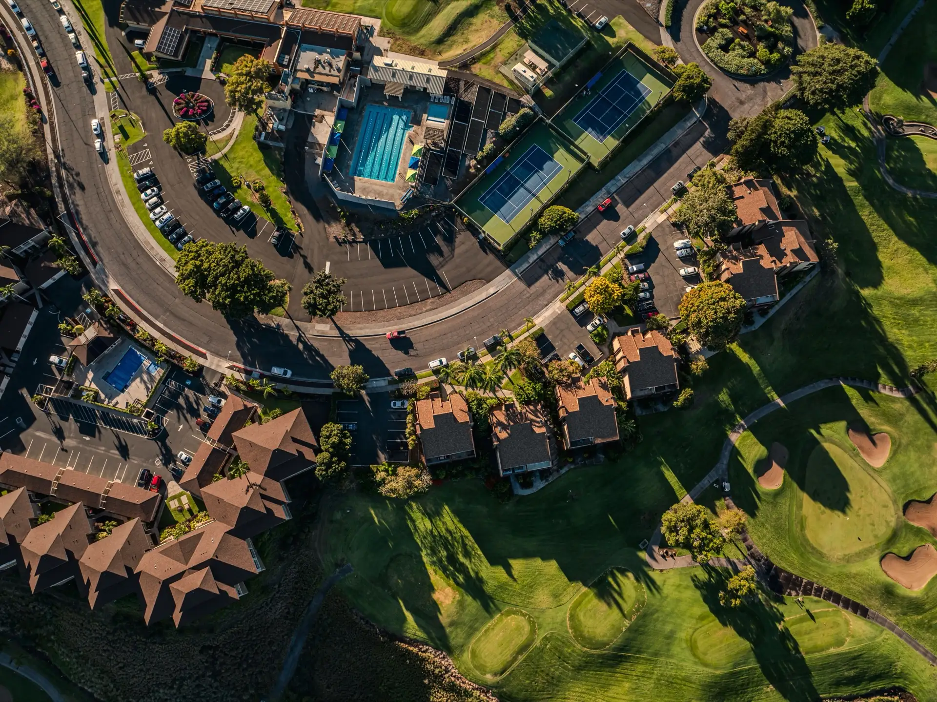
Why a walkover misses the problem on a large greenspace
A walkover is a small, subjective, one-off sample. A satellite reads the whole estate the same way on a schedule — catching declining zones before they are visible from the ground.
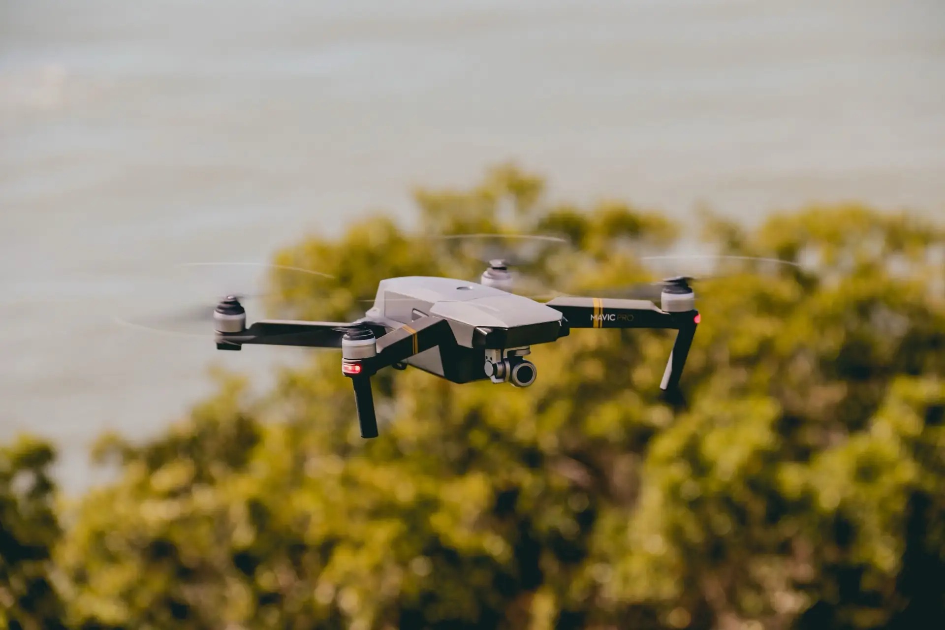
Three ways drone RGB data is oversold on rehabilitation work
Why a normal colour camera is blind to the near-infrared and red-edge signals that actually indicate vegetation health — and what rehabilitation monitoring really requires.
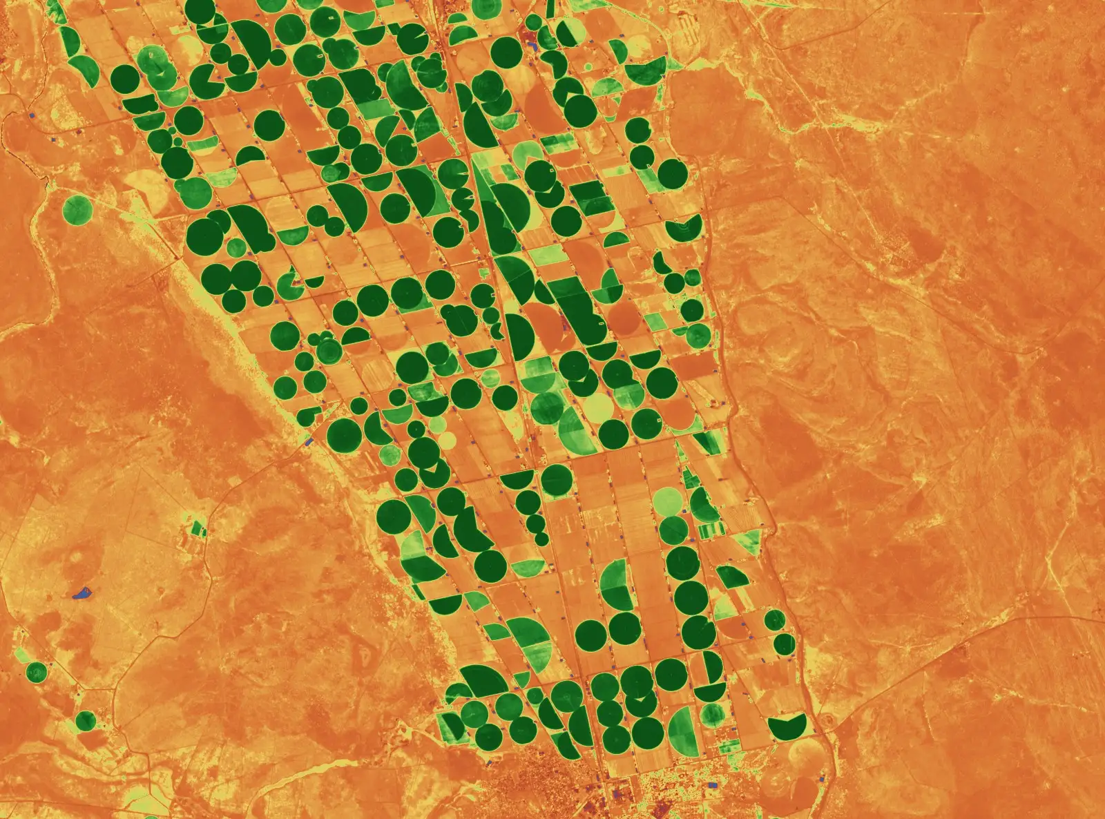
Sell the brain, not the drone
Data acquisition is commoditised; the scientific interpretation between the raw scene and a defensible conclusion is not — and that is what every TerraX service is built to deliver.
No insights in this sector yet.
Subscribe to Ground Truth
Reading spatial evidence well. One short, useful issue a month. Delivered on LinkedIn.
Send a one-paragraph brief.
What the project is, what the deliverable is, and when you need it. Reply within one working day.