
Construction compliance monitoring
Periodic satellite evidence that a solar farm, wind development or linear route disturbed only the ground it was authorised to — captured as it happens, for the lender and the authority that will ask.
The approved footprint, checked against the ground
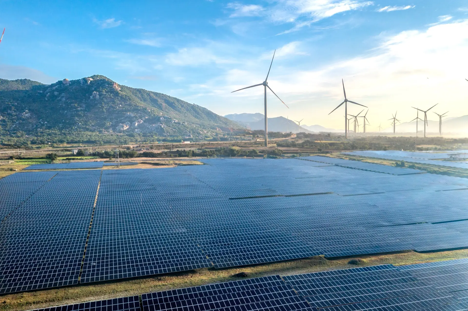
An environmental authorisation defines where construction may disturb the land. Solar, wind and linear projects — power lines, pipelines, roads — span areas too large to walk regularly and move too fast to audit by memory. Satellite imagery, captured on a schedule through the build, shows where ground was actually cleared and compares it against the approved development footprint.
Evidence built for the people who ask for it
Lenders attach environmental conditions to their funding; authorities attach them to their approvals. Both want periodic proof, not assurances. TerraX produces a dated monitoring record — disturbance extent per period, mapped against the permitted boundary, with any excursion flagged and quantified — that an environmental control officer, a lender's adviser or the authority can read directly.
What the record is for
The monitoring layer evidences where and when ground disturbance occurred relative to the approved footprint. Determining the consequences of any excursion — and any enforcement — rests with the authority and the appointed environmental control officer. TerraX provides the evidence they act on.
Related insights
Building inside a permitted footprint?
Tell us the project, the footprint and how often you need the record. Reply within one working day.