
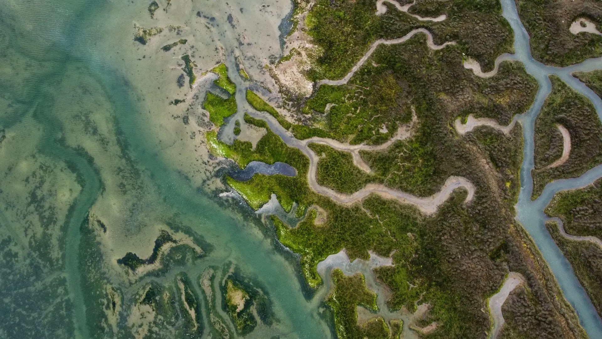
Environmental baseline remote sensing
The spatial layer your EIA needs — land cover, vegetation condition and change over time — built by a specialist and delivered under your report. You keep the client. Your name goes on the assessment.
A specialist layer, subcontracted to your team
Environmental consultancies win the work, hold the client relationship and sign the report. What they don't always want to carry in-house is a remote sensing specialist for the fraction of projects that genuinely need one. That is the gap TerraX fills: the spatial baseline is produced to your specification, documented to your standard, and handed back for integration into your assessment under your authorship.
What the baseline survey covers
Current and historical land cover across the study area; vegetation extent and condition; change detection over the years preceding the application; and spatial context for sensitive features identified by the broader team. Delivered as documented maps and the underlying data — GeoTIFF and shapefile — ready to drop into your GIS and your report.
Clear division of authorship
TerraX supplies and stands behind the remote sensing layer and its method. The ecological interpretation, the impact assessment and the professional sign-off on the EIA remain with your registered practitioners. The arrangement is designed to strengthen your report, not to appear anywhere near your client.
Related insights
Need a spatial layer under an assessment?
Tell us the study area, the deadline and how you want the data delivered. Reply within one working day.