
One discipline, applied to the questions each sector has to answer.
Every engagement produces the same kind of thing: a documented, defensible spatial evidence layer, delivered under your report or on its own. What changes is the question — and the standard the answer has to meet. Most work is subcontracted beneath a prime consultancy that keeps the client relationship.
Service areas
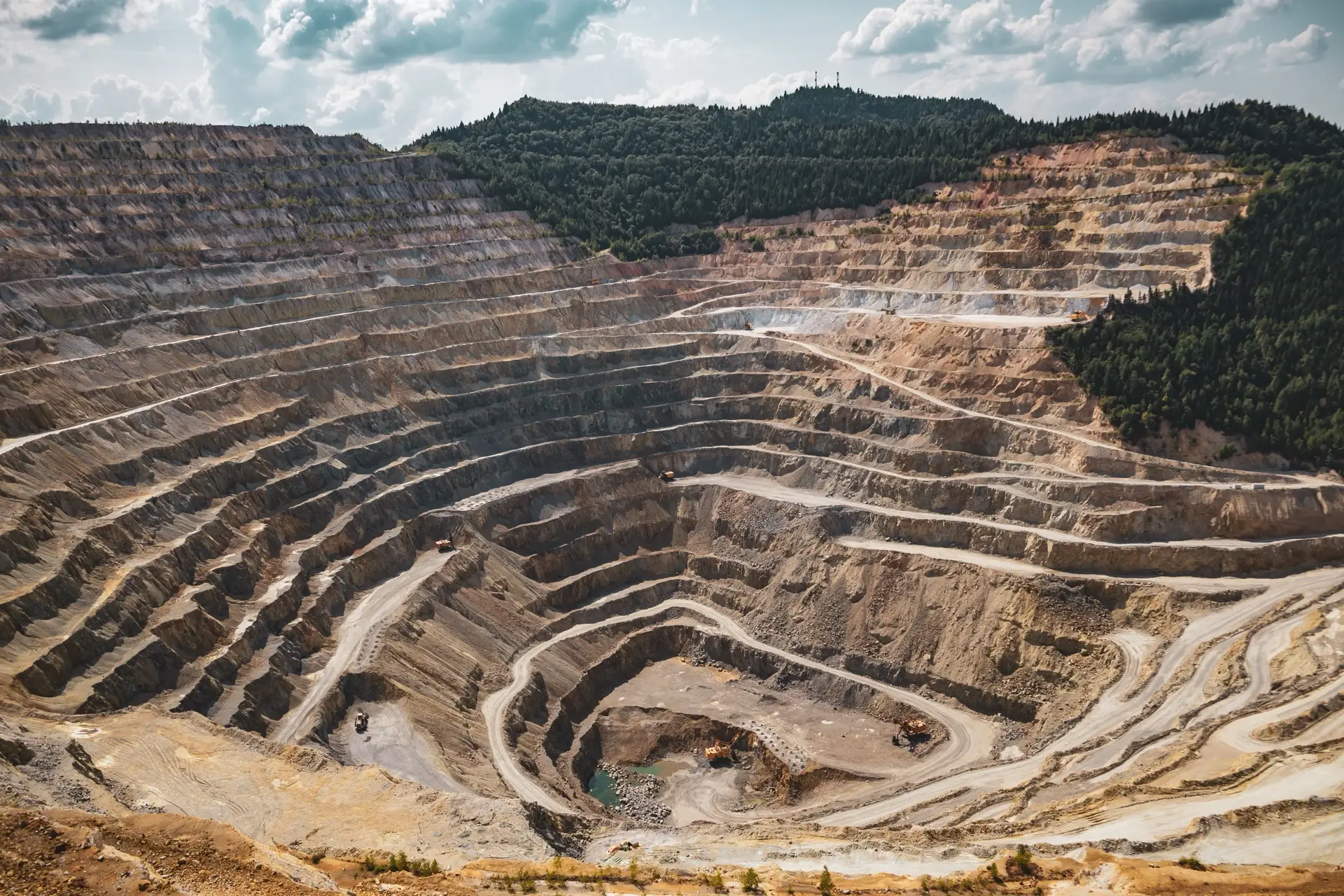
Rehabilitation monitoring
Multi-year satellite evidence of vegetation recovery on rehabilitated mine and industrial footprints.
Read more →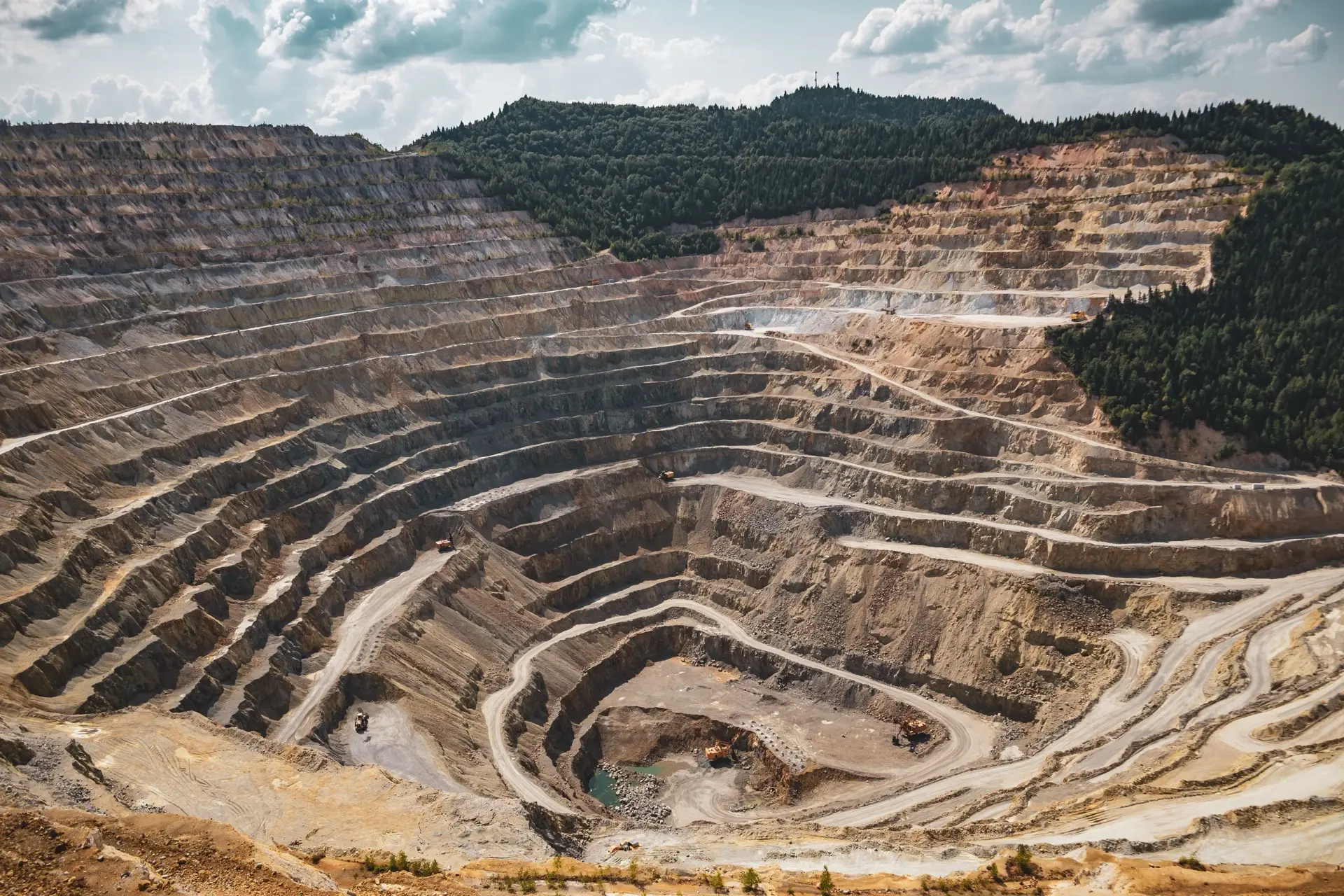
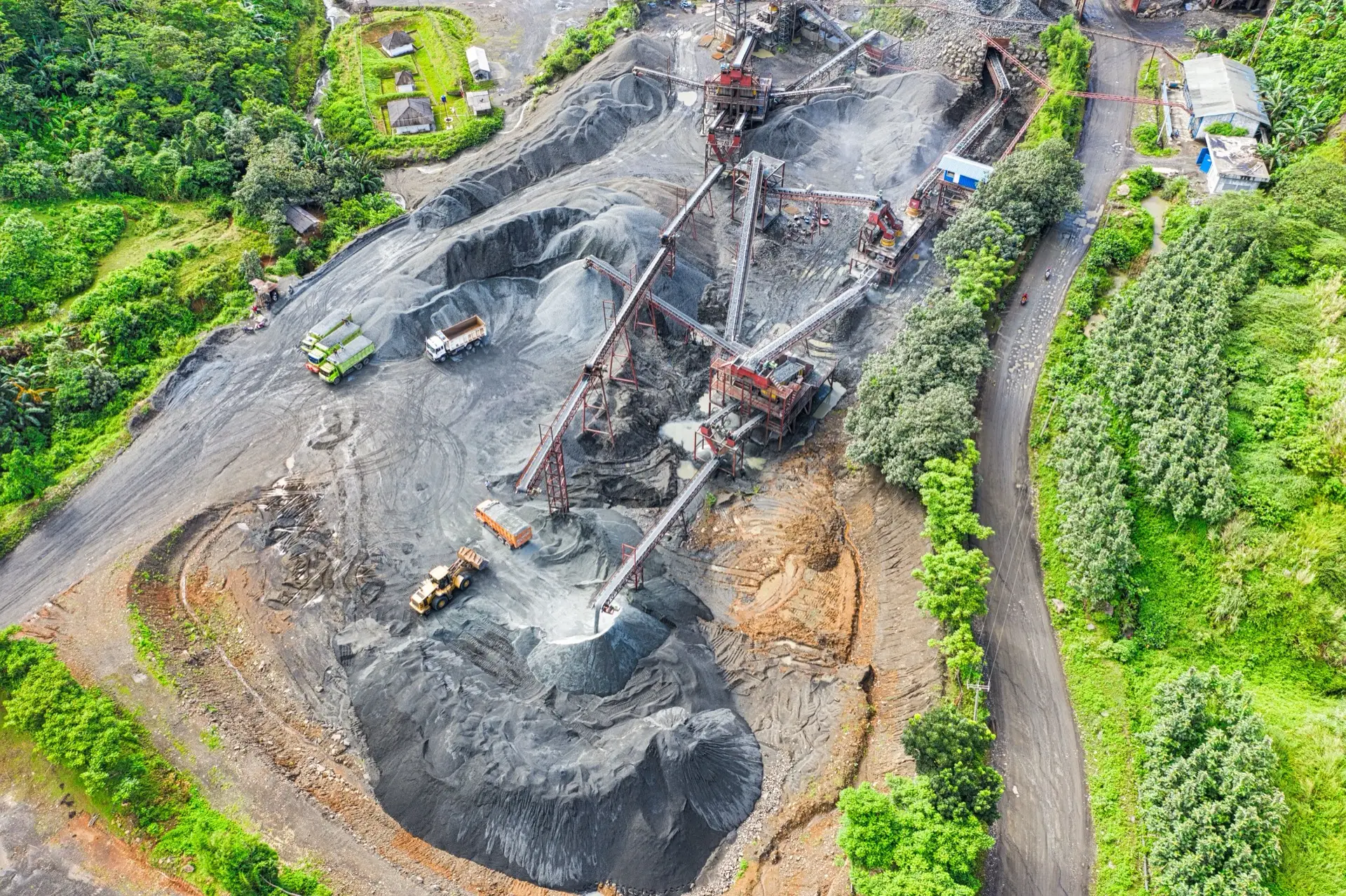
Closure liability verification
Independent verification of disturbance extent and earthworks volumes for closure financial provision.
Read more →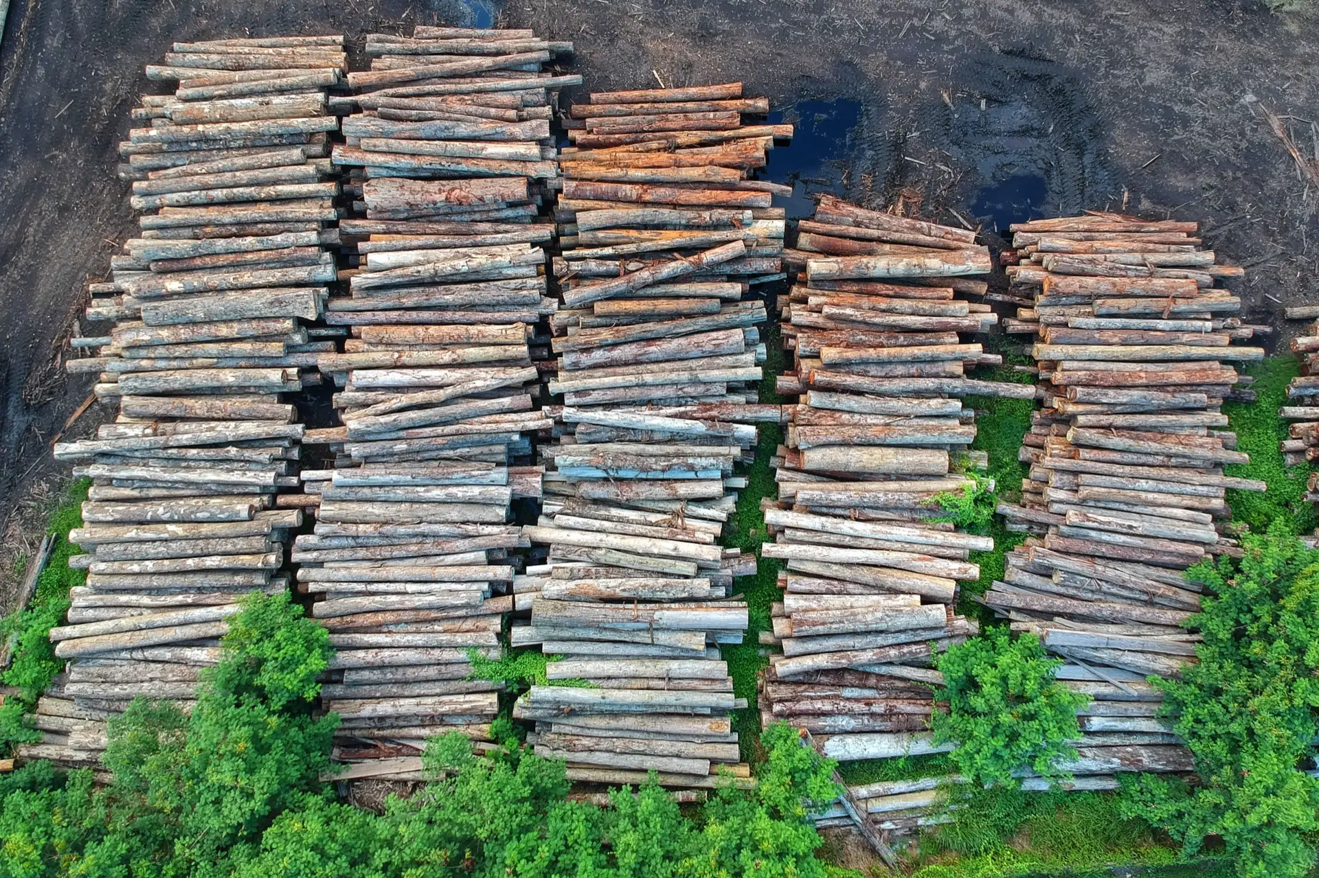
EUDR forestry compliance
Plot-level satellite evidence for EUDR on southern African wood and charcoal, including a second opinion on review-flagged plots.
Read more →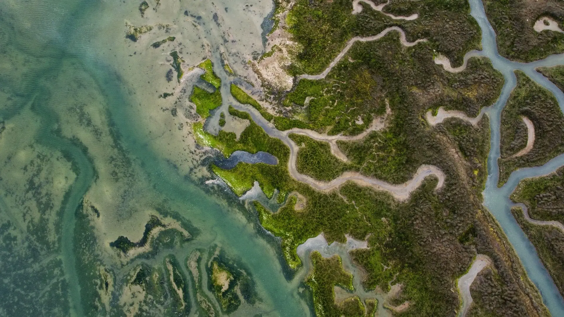
Environmental baseline
Remote sensing baseline layers for environmental impact and biodiversity assessments.
Read more →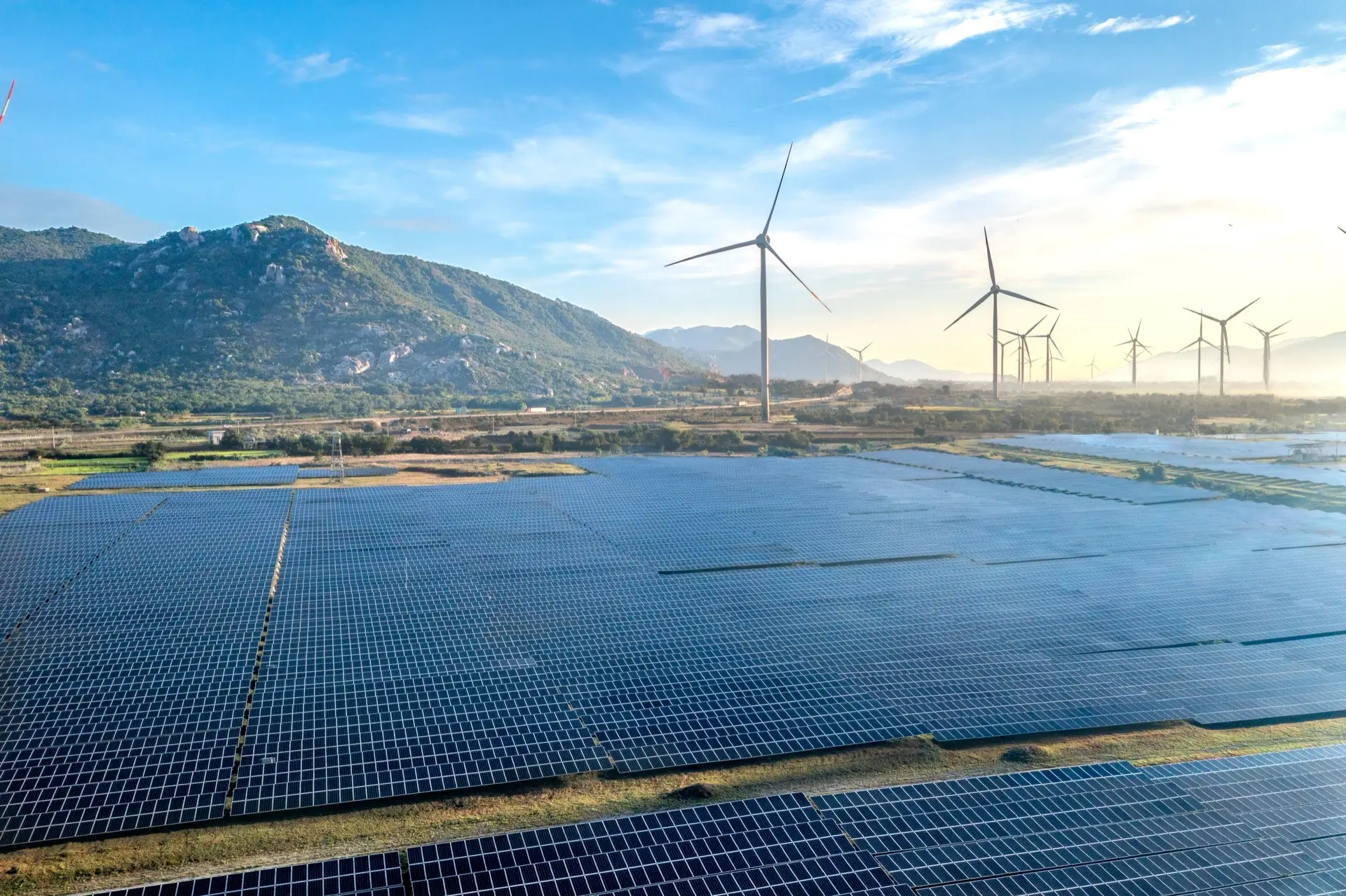
Construction compliance
Construction-phase monitoring that evidences disturbance stayed inside the approved footprint.
Read more →
Crop monitoring
Satellite crop-health and within-field variability monitoring for farms and irrigation schemes.
Read more →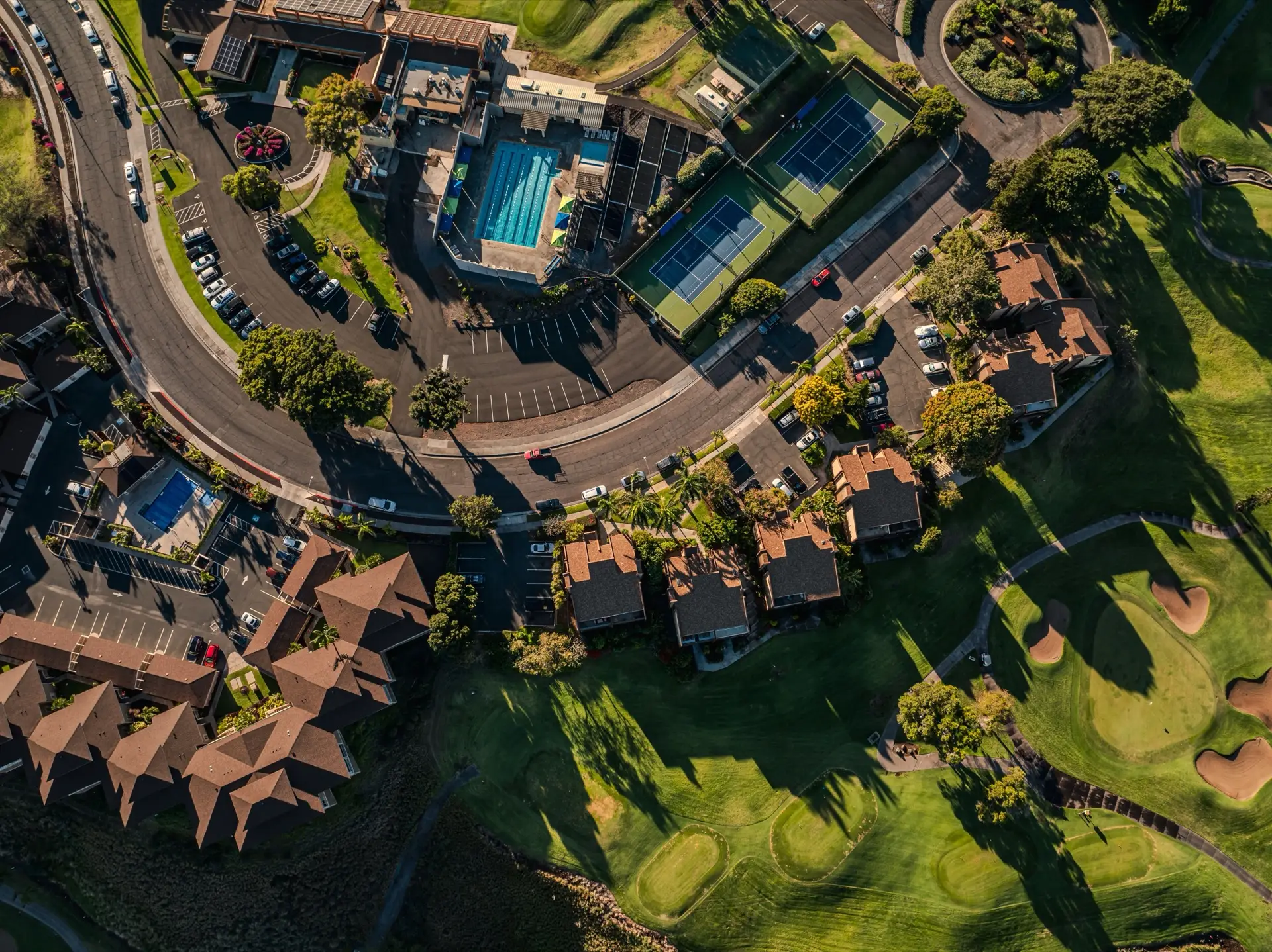
Greenspace reporting
Periodic vegetation-health reports for estates, golf courses, plantations and campuses.
Read more →
Research support
Remote sensing analysis subcontracted to university researchers, with co-authorship where warranted.
Read more →How engagements are structured
Scoped work is quoted as a fixed fee against defined milestones; advisory and exploratory work runs at a day rate. Either way, send a brief and you get a quote within 48 hours — not a rate card to reverse- engineer. Pricing follows the scope, because the value is in the judgement, not the hours.
Send a one-paragraph brief.
What the project is, what the deliverable is, and when you need it. Reply within one working day.