
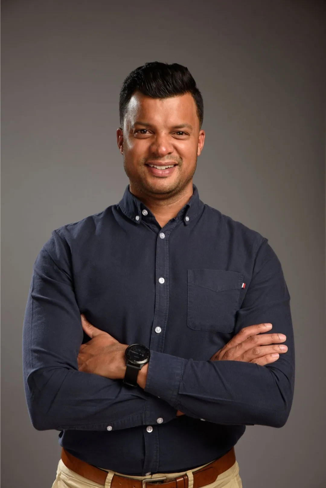
Dr Leeth Singh
The named specialist behind every TerraX deliverable — a remote sensing scientist with a doctorate and a peer-reviewed record in the exact methods the consultancy sells.
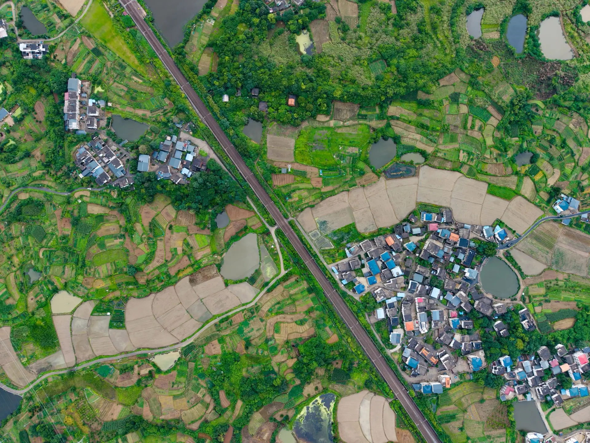
Mines, plantations, grasslands and coastlines.
One discipline, carried across every sector where a land decision has to be defended.
TerraX is led by Dr Leeth Singh, who has spent more than a decade putting remote sensing to work across the sectors the consultancy now serves — forestry research inside a major commercial grower, geospatial project delivery for a global engineering firm, climate and sustainability consulting for business and government, and doctoral-level academic research. That range is the point: the same core discipline reads a mine footprint, a plantation, a rehabilitated grassland or a coastline, and the judgement sharpened on one problem carries straight to the next.
The premise of the firm is narrow and deliberate. In a market where imagery is open and processing is commoditised, the scarce resource is the analyst who can interpret the data with scientific defensibility, say plainly what it does and does not show, and put their name to it. TerraX concentrates on that interpretation and sign-off, and subcontracts flying and other commodity inputs to vetted specialists.
The company trades as TerraX (C02NSCIOUS (Pty) Ltd) and is based in Johannesburg, South Africa, working South Africa-wide.
Selected industry experience
- Founder & Principal2021 – presentTerraX
Independent geospatial intelligence consultancy. Remote sensing analysis, spatial evidence and accountable sign-off for mining, forestry, environmental and infrastructure clients, working predominantly as a subcontracted specialist beneath prime consultancies.
- International Research Consultant2020 – presentClimate & Sustainability Consultants
Climate change impact assessment and adaptation strategy for business and government, with tertiary-level lecturing on climate science and corporate environmental responsibility.
- Geospatial Lead2019 – 2021Woolpert Africa
Led delivery for a global geospatial firm — managing GIS and remote sensing engagements, supervising technicians, and introducing advanced analysis techniques across sectors.
- Research Consultant2017 – 2020Sappi Forests
Designed and ran data science experiments at the Sappi Shaw Research Centre and SAICCOR mill: predictive analytics, spectroscopy and process optimisation supporting lean manufacturing.
- PhD Candidate2014 – 2018University of KwaZulu-Natal
Doctoral research in hyperspectral remote sensing for vegetation analysis, combining field spectroscopy with machine-learning classification.
- GIS Consultant2013 – 2014JG Afrika
Effluent pool mapping and impact analysis for environmental engineering teams; geospatial inputs into EIAs and regulatory compliance work.
The full peer-reviewed publication record is on the publications page.
Send a one-paragraph brief.
What the project is, what the deliverable is, and when you need it. Reply within one working day.