
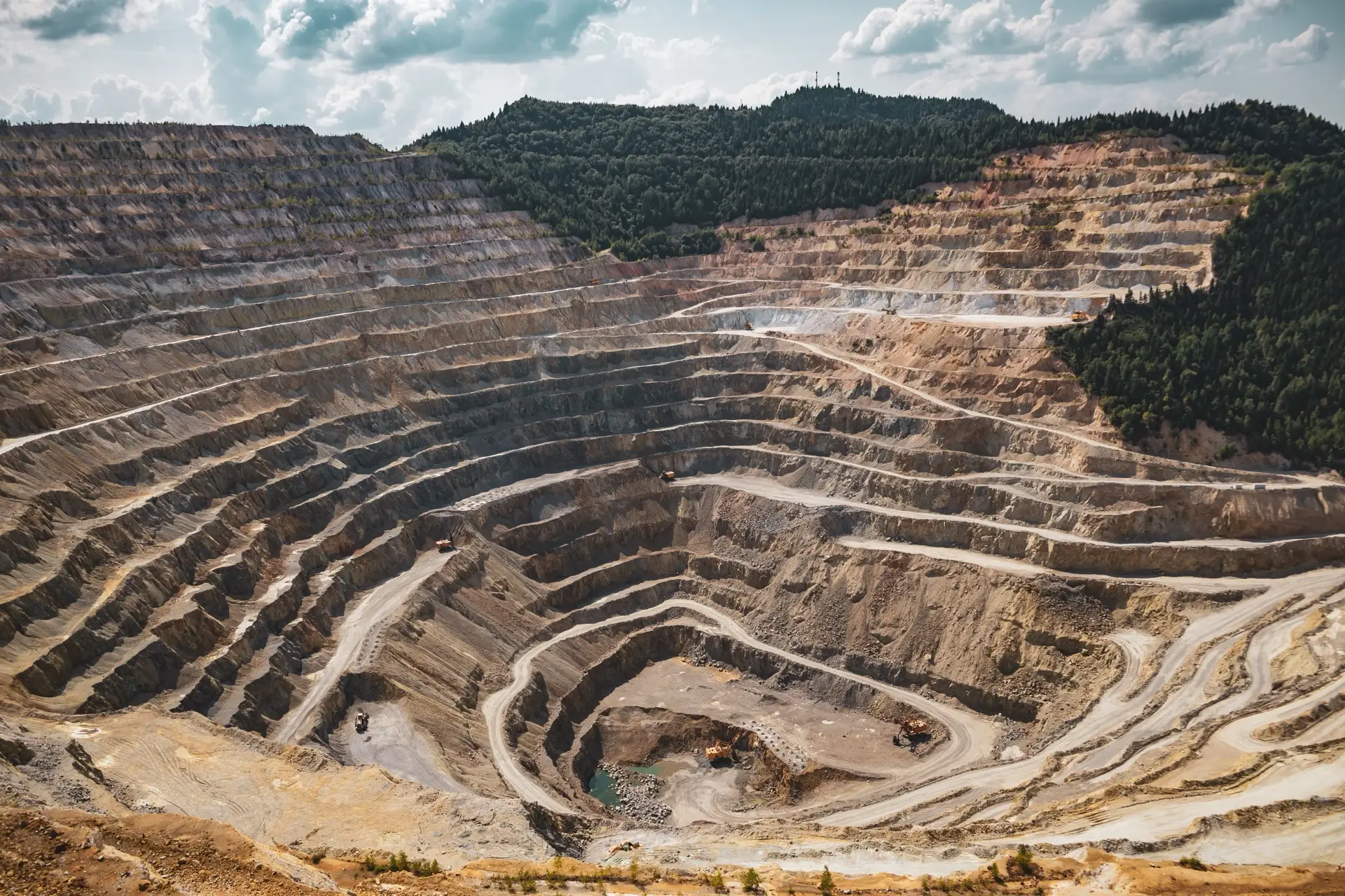
Closure liability verification
An independent measurement of how much ground has been disturbed and how much earth has moved — from satellite and elevation data — to sit underneath a closure financial provision that an auditor or regulator can test.
Independent measurement of disturbance and change
Closure provision rests on numbers: the area disturbed, the volumes to be reshaped or removed, and how both have changed over the life of the operation. Those numbers usually come from the parties with an interest in their size. TerraX measures them independently — disturbance extent mapped from the imagery archive, elevation change quantified against earlier surfaces — so the provision has a source that does not report to the operation.
Verification of quantities against the record
Where a surveyor or contractor has already stated quantities, TerraX verifies them against the independent satellite and elevation record and reports the agreement — or the discrepancy — with its basis shown. For an auditor testing a provision, or a consultancy reviewing a number it did not generate, that is an evidence trail rather than an assertion to take on trust.
Change over time, not a single snapshot
Because the imagery archive is historical, disturbance and earthworks can be measured at multiple dates, not just today. That turns a static provision into a defensible trajectory: how the footprint grew, when, and by how much.
Scope boundary — stated as a strength
TerraX signs disturbance areas, volumes and the basis of quantities. That is the measurement, and it is signed by a named specialist who will stand behind it.
Engineering opinion on closure design, judgements about whether a provision is adequate, and the accounting treatment of the liability sit with appropriately registered engineers, environmental assessment practitioners and financial professionals. Where a scope needs them, TerraX brings them in rather than straying outside its competence. A verification is more credible, not less, for being clear about where its authority ends.
The deliverable is an independent measurement report: disturbance and volume figures, the imagery and elevation basis for each, stated uncertainty, and a plain account of method — structured to be read straight into a closure cost assessment or an audit file.
Closure liability verification — common questions
What does TerraX sign on a closure verification?
The measurement — disturbed area, earthworks volume, the imagery and elevation basis for each, and the uncertainty on both. It does not opine on whether a provision is adequate, design the closure, or decide the accounting treatment of the liability.
How is earthworks volume measured from satellite?
By differencing two elevation surfaces of the same ground at different dates — a DEM of difference. Free optical imagery gives area, not height, so volumes draw on stereo-satellite, LiDAR, drone or archival elevation, with the vertical uncertainty carried into the figure.
Can you verify quantities a surveyor or contractor already produced?
Yes. The stated figures are checked against the independent satellite and elevation record, and the agreement — or the discrepancy — is reported with its basis shown, so an auditor is testing an evidence trail rather than a number taken on trust.
Related insights
Verifying a closure provision?
Tell us the site, whether quantities already exist, and who relies on the figure. Reply within one working day.